A comprehensive shoreline survey is underway on Francois Lake as part of a province-wide initiative to assess and protect critical freshwater ecosystems.
“Francois Lake, being a large lake in the Nechako region, is being monitored and overseen through the Nechako Watershed Roundtable and their large lake monitoring strategy,” said Georgia Peck, lakes program manager with Living Lakes Canada. “As part of that, alongside local partners, we are surveying, inventorying and mapping the shoreline—or the foreshore—of Francois Lake.”
Living Lakes Canada is a national nonprofit that coordinates community-based water monitoring projects across the country. The current work at Francois Lake is being conducted through the Foreshore Integrated Management Planning (FIMP) protocol, which is an established framework for quantifying and monitoring shoreline health. For example, a local government could use the data from a FIMP study to inform a decision on whether or not to allow development on a particular section of shore.
“The whole goal of this is to get a thorough understanding of the health and the values of the lake foreshore, and based on that information, provide recommendations and best management practices to decision makers and rights holders,” Peck said.
The foreshore includes the littoral zone of the lake—the area of water where light touches the lake bed allowing vegetation to grow—and 50 metres inland of the shore. Peck explained that the foreshore is broken into segments for assessment, with each section evaluated according to 28 criteria including vegetation, species presence, shoreline modification, and development impacts.
“Each of those rankings has various recommendations and best management practices that go with them,” she said. “It’s essentially a way of quantifying the sensitivity of the shoreline.”
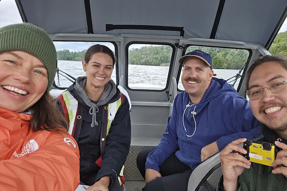
The project includes drone footage, geographic information system (GIS) mapping, and on-the-ground data collection from boats by local First Nations, technicians and consultants.
“Everybody’s counting a different type of data,” Peck said. “For Francois Lake, which is 110 kilometres long, it’s taking about 11 or 12 days of field work to do the entire lake.”
The field survey is just the beginning.
“There’s report writing, a lot of desktop review," Peck said. "Then maps, really detailed maps, drone footage, and the reports. They’ll be produced and finalized for spring 2026.”
Ideally, Peck said, foreshore reviews would be conducted at a lake every 10 to 15 years, so the changes over time can be studied.
The work at Francois Lake follows a completed re-survey of Fraser Lake in 2024 after Fraser Lake was initially surveyed approximately 11 years prior.
The two local projects are part of a broader basin-by-basin approach across the province. “We just published a four-year summary report after conducting these surveys on 12 lakes in the Columbia Basin,” Peck said. “We’ll be doing the same thing for the Okanagan and Fraser basins as well.”
Peck added that the cumulative shoreline loss in British Columbia’s lakes has been measurable and consistent.
“We’re really discovering that the rate of natural shoreline loss is quite significant every year,” she said. “0.2% is the rate of change that we’re seeing pretty consistently… that’s four and a half kilometres of natural shoreline loss on Kootenay Lake in nine years.”
She said most of the impacts come not from industry, but from residential development.
“What we’re actively seeing is the lakes that have the most amount of private land are also seeing the highest rates of natural shoreline loss,” she said.
Peck said the project, which costs about $200,000, is funded primarily through the Canada Water Agency’s Fraser River Ecosystem Initiative and the Drax Foundation, with additional support from local and regional partners including the Regional District of Bulkley-Nechako, BC Parks, the Nechako Environment and Water Stewardship Society, and the Ts'il Kaz Koh First Nation.
Peck emphasized the importance of local collaboration and said the level of cooperation in the Nechako region stands out.
“It’s incredible how much cooperation and teamwork there is amongst nations and local government and stewardship groups,” she said. “It’s been a real pleasure to work on lakes up north.”


